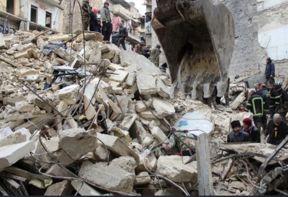
By Gloria Dickie LONDON (Reuters) – The magnitude 7.8 earthquake that struck Turkey and Syria on Monday is likely to be one of the deadliest this decade, seismologists said, with a more than 100 km (62 miles) rupture between the Anatolian and Arabian plates. Here is what scientists said happened beneath the earth’s surface and what to expect in the aftermath:
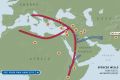
WHERE DID THE EARTHQUAKE ORIGINATE? The epicentre was about 26 km east of the Turkish city of Nurdagi at a depth of about 18 km on the East Anatolian Fault. The quake radiated towards the northeast, bringing devastation to central Turkey and Syria. During the 20th century, the East Anatolian Fault yielded little major seismic activity. “If we were going simply by (major) earthquakes that were recorded by seismometers, it would look more or less blank,” said Roger Musson, an honorary research associate at the British Geological Survey. Only three earthquakes have registered above 6.0 on the Richter Scale since 1970 in the area, according to the U.S. Geological Survey. But in 1822, a 7.0 quake hit the region, killing an estimated 20,000 people.
HOW BAD WAS THIS EARTHQUAKE?
On average, there are fewer than 20 quakes over 7.0 magnitude in any year, making Monday’s event severe. Compared with the 6.2 earthquake that hit central Italy in 2016 and killed some 300 people, the Turkey-Syria earthquake released 250 times as much energy, according to Joanna Faure Walker, head of the University College London Institute for Risk and Disaster Reduction. Only two of the deadliest earthquakes from 2013 to 2022 were of the same magnitude as Monday’s quake.
WHY WAS IT SO SEVERE?